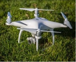
Unmanned Aerial Vehicles (UAV) has become a very popular method of research among different field researchers, especially in the fields of surveying and mapping, agriculture, construction, land-use mapping and monitoring. It also provide new opportunities for environmental remote sensing. The UAV technology provides a platform for close-range aerial photography, and detailed ground imagery is captured. Minimum-cost procedure is the main advantage of this technique and it creates better technologies for the mapping of earth’s phenomenon. Using the drone phantom 4, our researchers produced an LU/LC map and an elevation map for Mahaweli River in Peradeniya.
-
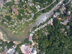
- DCIM100MEDIADJI_0207.JPG
-
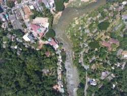
- DCIM100MEDIADJI_0182.JPG