Land Surface Temperature
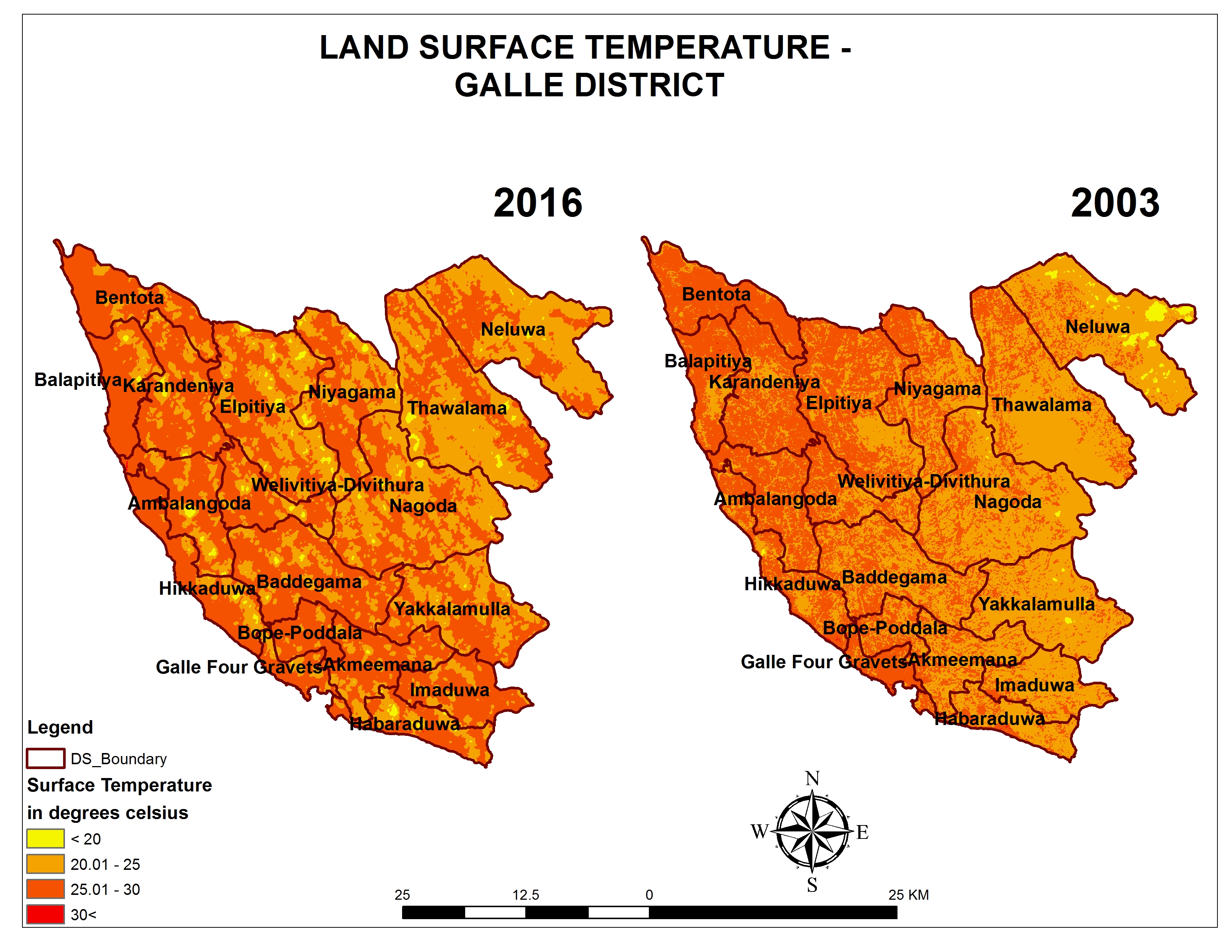
Remote Sensing (RS) based temperature estimation is very useful to reveal Land Surface Temperature (LST) using radiance. Land Surface Temperature is an estimate of actual ground temperature and it is an important factor in global climate change studies. Further, Land Surface Temperature is important for studies of physical, chemical and biological processes of the earth. […]
Drone Mapping
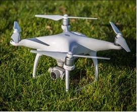
Unmanned Aerial Vehicles (UAV) has become a very popular method of research among different field researchers, especially in the fields of surveying and mapping, agriculture, construction, land-use mapping and monitoring. It also provide new opportunities for environmental remote sensing. The UAV technology provides a platform for close-range aerial photography, and detailed ground imagery is captured. […]
Biomass Resource Survey
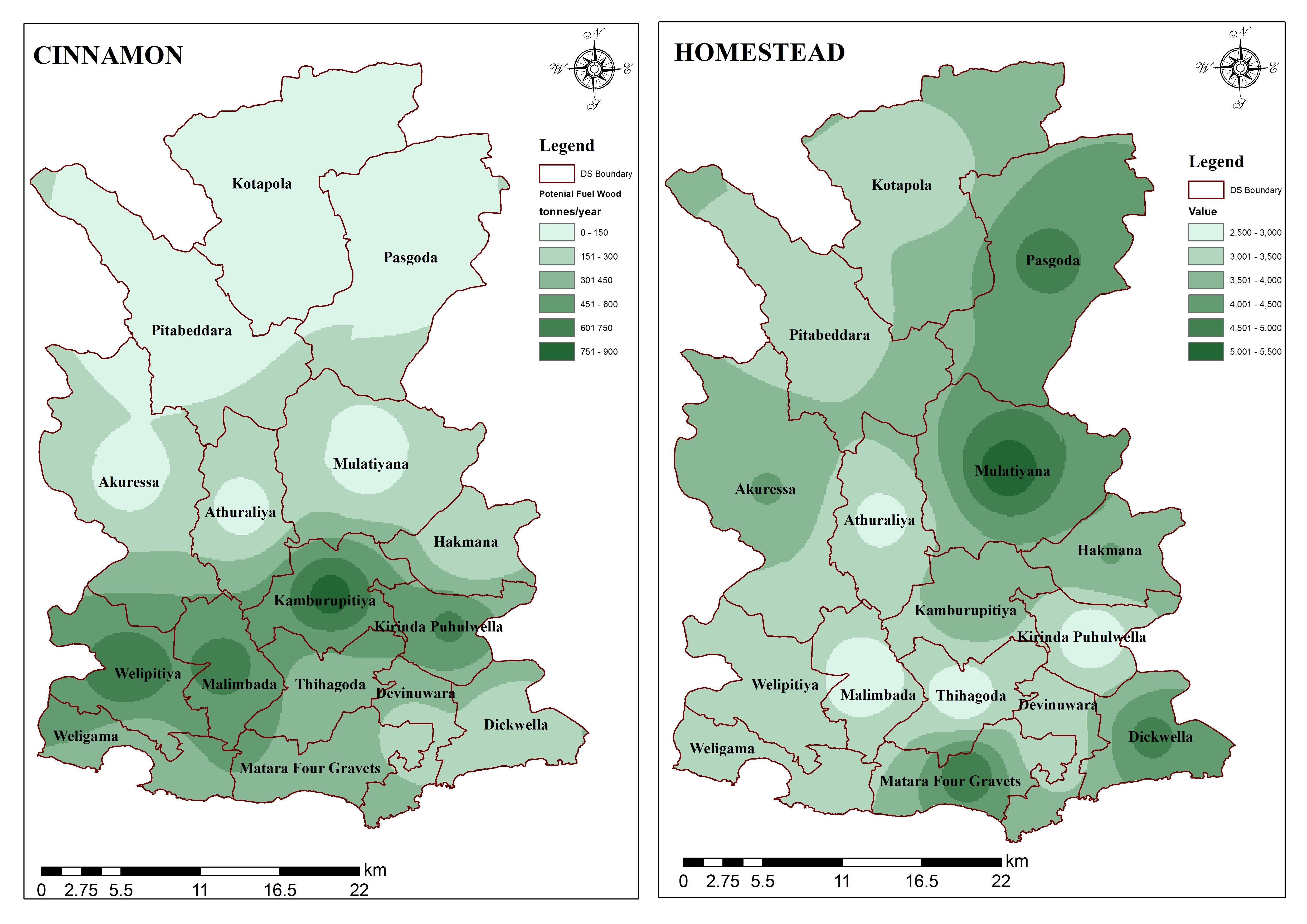
Biomass Resource Survey on Promoting Sustainable Biomass Energy Production and Modern Bio-Energy Technologies. This assessment/survey was conducted in 11 districts (Gampaha, Kaluthara, Galle, Matara, Puttlam, Kurunegala, Ratnapura, Kegalle, Matale, Kandy, and Nuwara-eliya) in Sri Lanka. Based on primary survey data and secondary data generated from relevant institutes, biomass potential by DS divisions of selected […]


